 |
 |
Businesses |
||||
| 1968 Early Business History of Carroll County and Carroll County update | Pictures of Carroll County Veterans. Pictures and sketches of many families of the County | |||
Bosworth |
||||
| Bosworth Round Barn | 1915 | famous landmark | ||
Carrollton |
||||
| Carroll Exchange Bank | 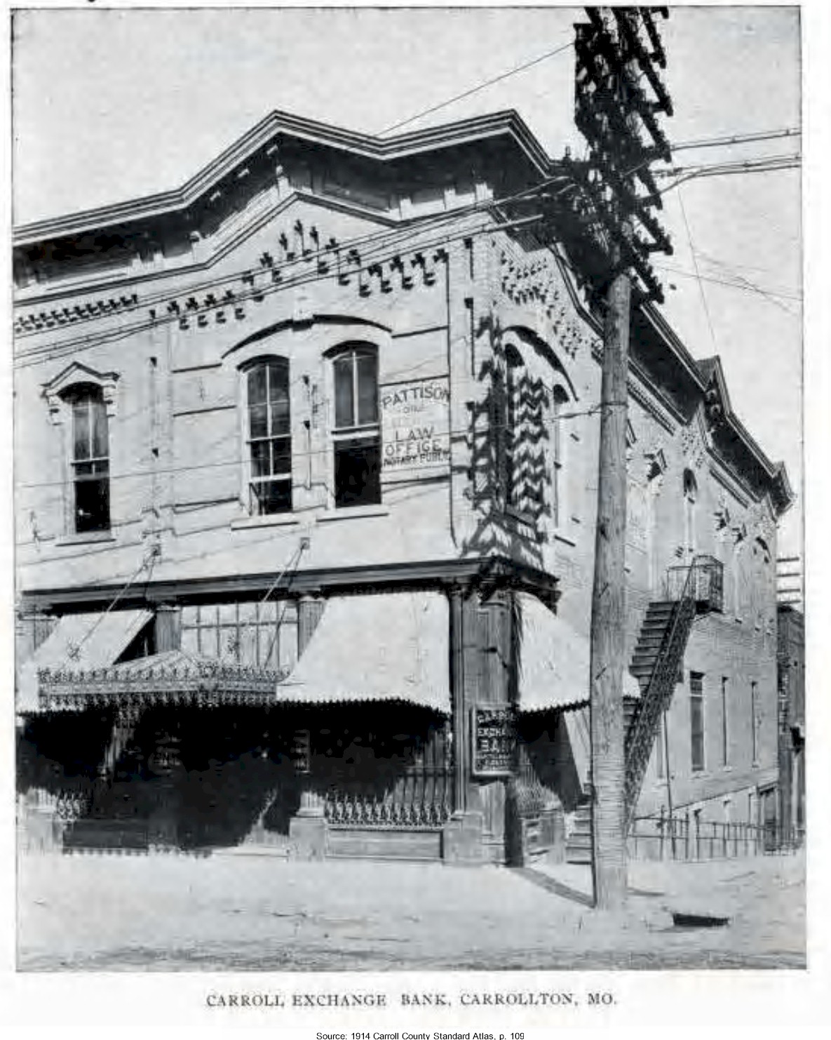 |
1914 Carroll County Standard Atlas, p. 109 | ||
| Carrollton Grain Company |  |
1914 Carroll County Standard Atlas, p. 113 | . | . |
| Carrollton Jail | 1878 | |||
| Carrollton Water Tower | 1924 | removal of the water tower in 1997 | ||
| First National Bank | 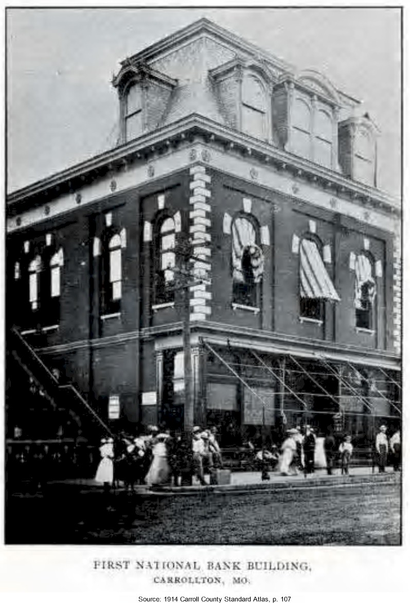 |
1914 Carroll County Standard Atlas, p. 107 | . | . |
| Fisher's Service Station | 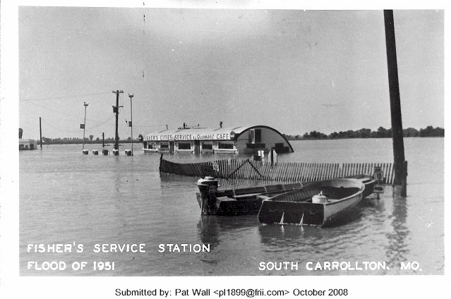 |
1951 | Flood of 1951 | . |
| General Hospital | 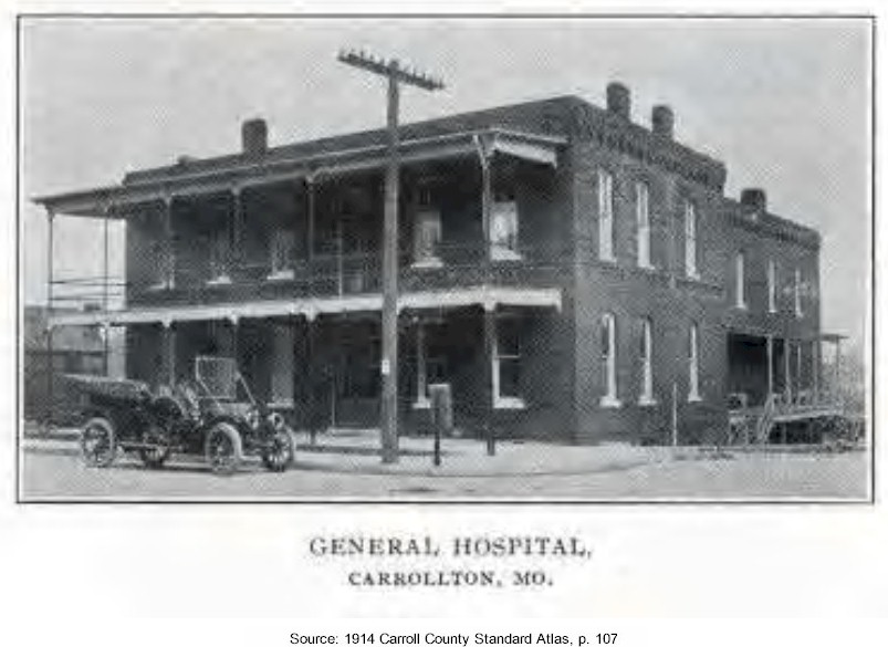 |
1914 Carroll County Standard Atlas, p. 107 | .. | .. |
| Masonic Temple | 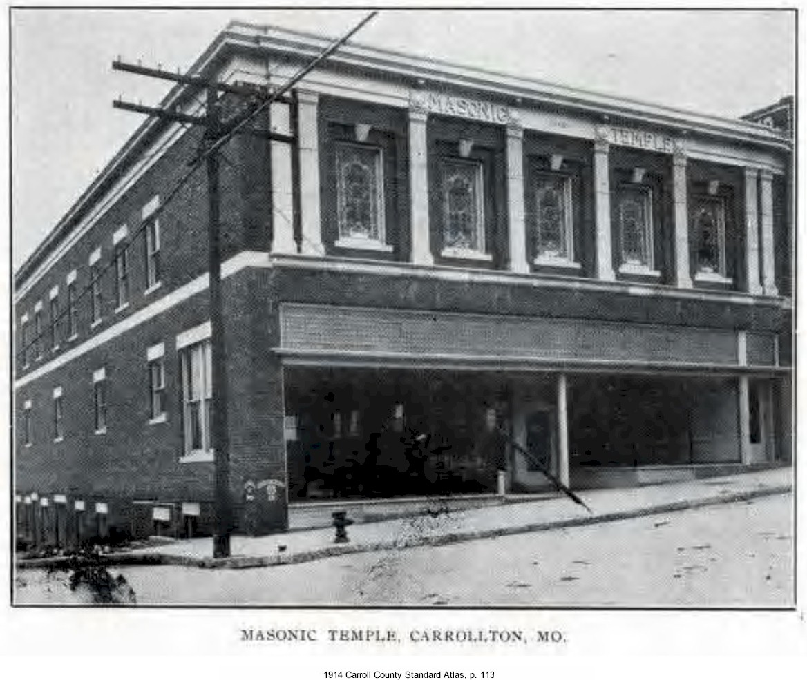 |
1914 Carroll County Standard Atlas, p. 113 | , | , |
| McDonald Lumber Yard | 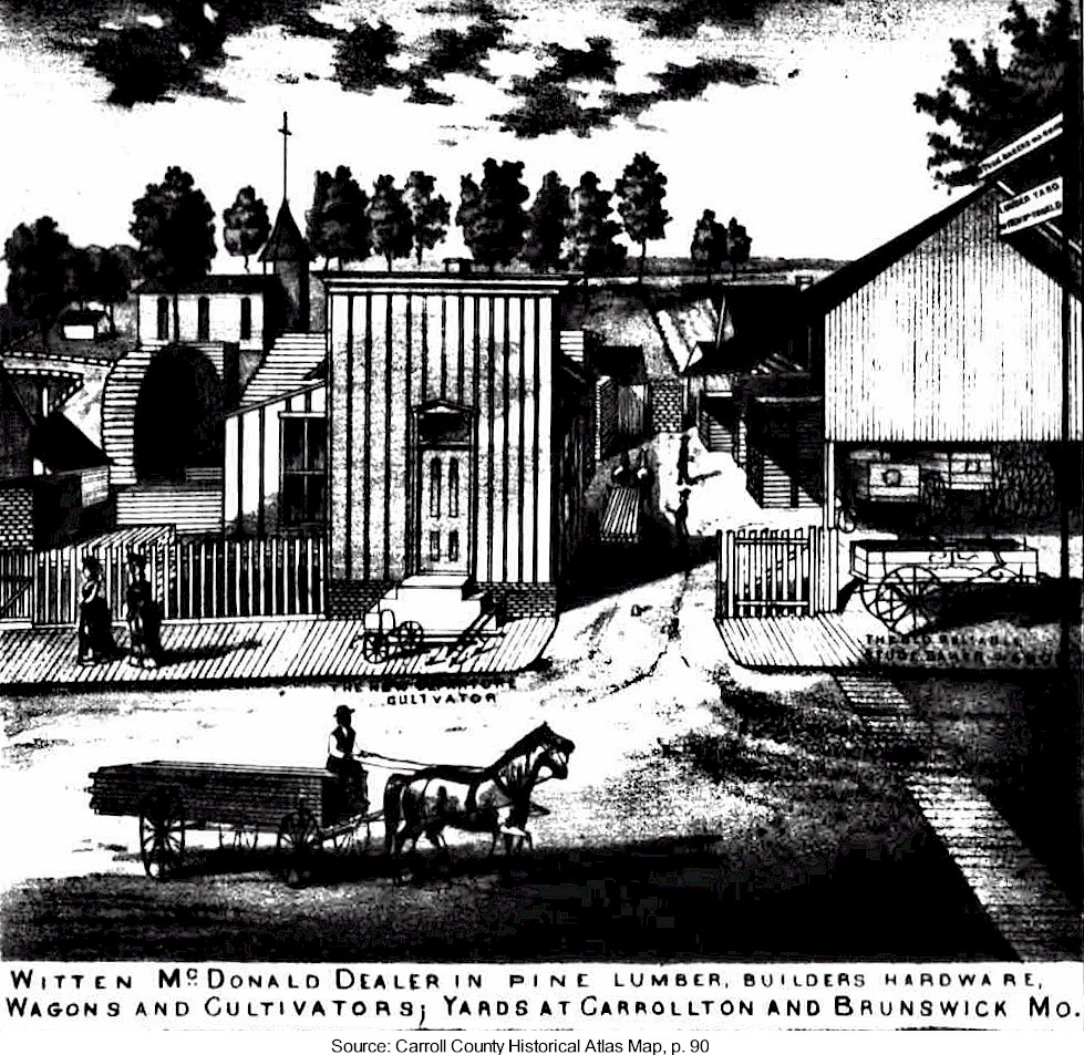 |
1876 Historical Atlas Map | Witten McDonald dealer in pine lumber, builders hardware, wagons and cultivators yards at Carrollton & Brunswick |
|
| Mint Billiard Rooms Mint Saloon |
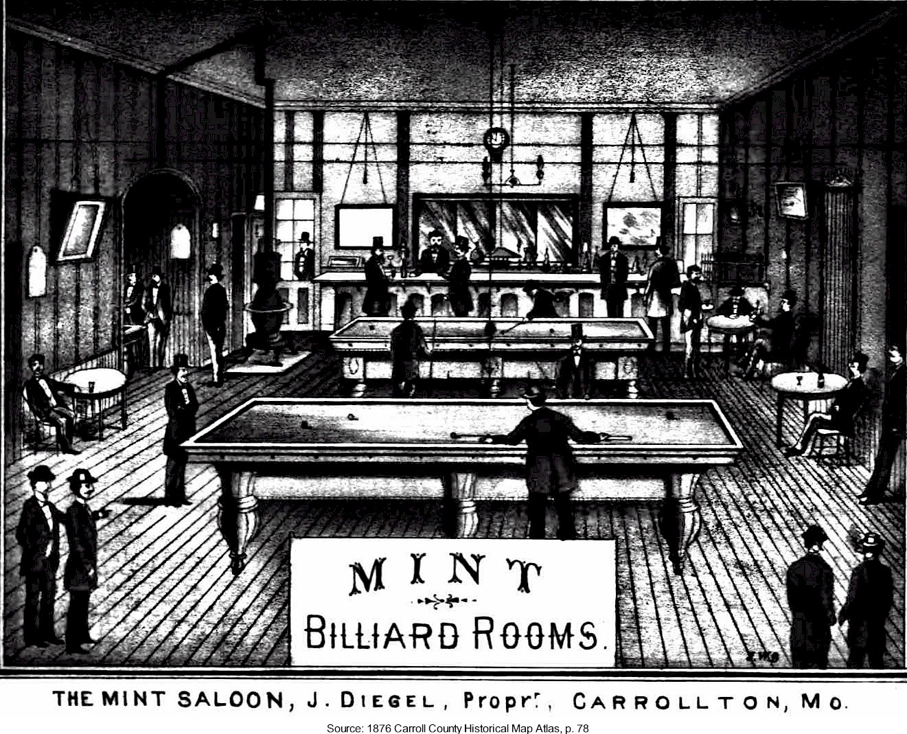 |
1876 Historical Atlas Map | J. Diegel, Proprietor | |
| Post Office |  |
1914 Carroll County Standard Atlas, p. 111 | . | . |
| J. M. Ragland & Company | 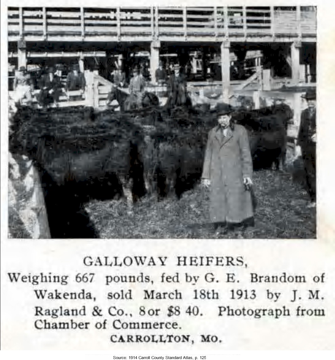 |
1914 Carroll County Standard Atlas, p. 125 | Galloway Heifers, weighing 667 pounds, fed by G. E. Brandom of Wakenda, sold March 18th, 1913 by J. M. Ragland & Co., 8 or $8.40. Photograph from Chamber of Commerce [1914], Carrollton, Missouri | . |
| Senate Billiard Rooms Senate Saloon |
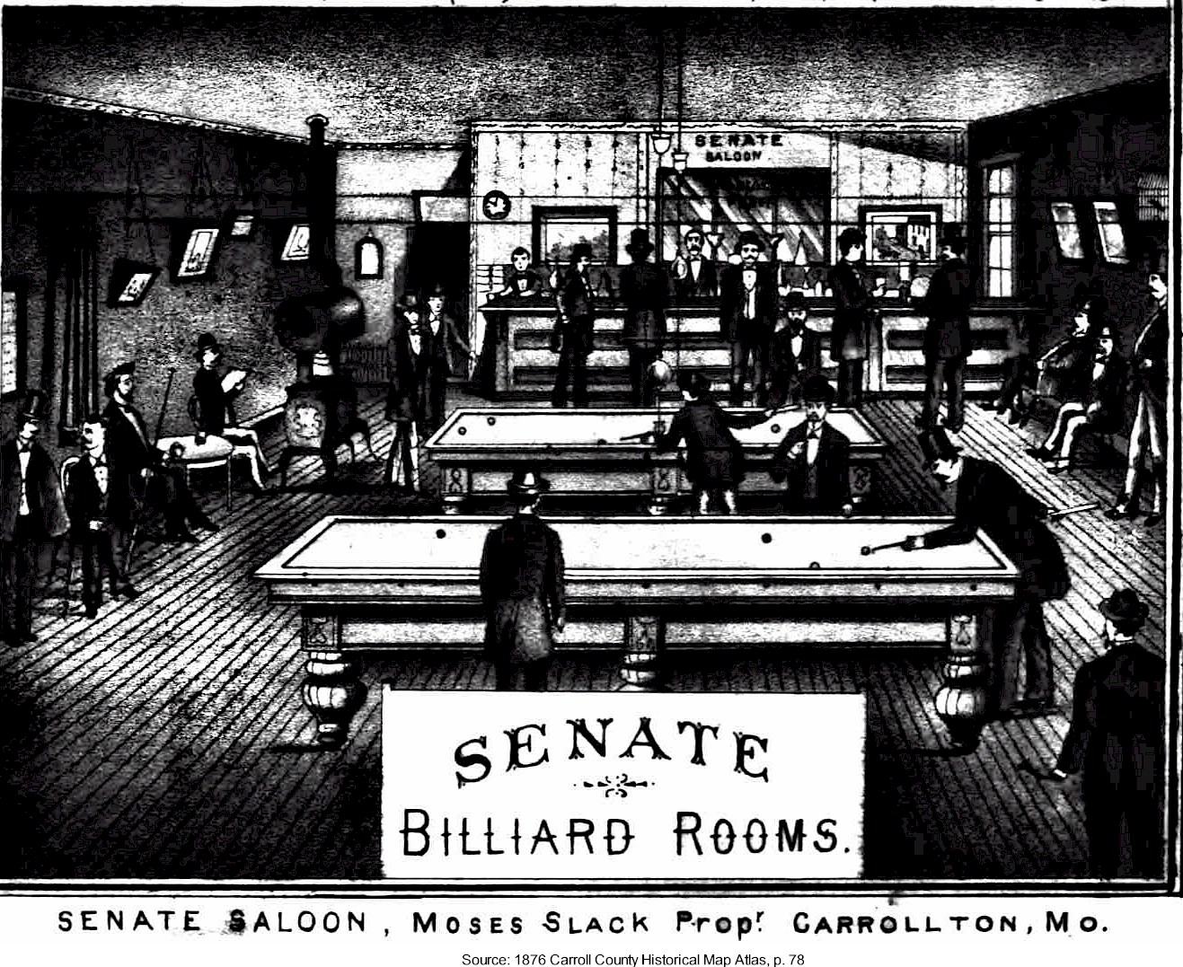 |
1876 Historical Atlas Map | Moses Slack, Proprietor | |
| South Side Hospital | 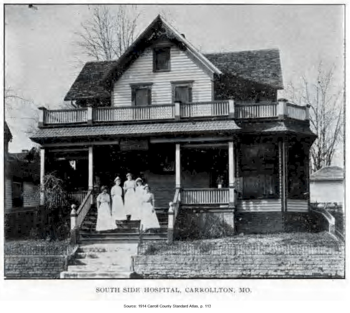 |
1914 Carroll County Standard Atlas, p. 113 | . | . |
| F. M. Stamper & Co | 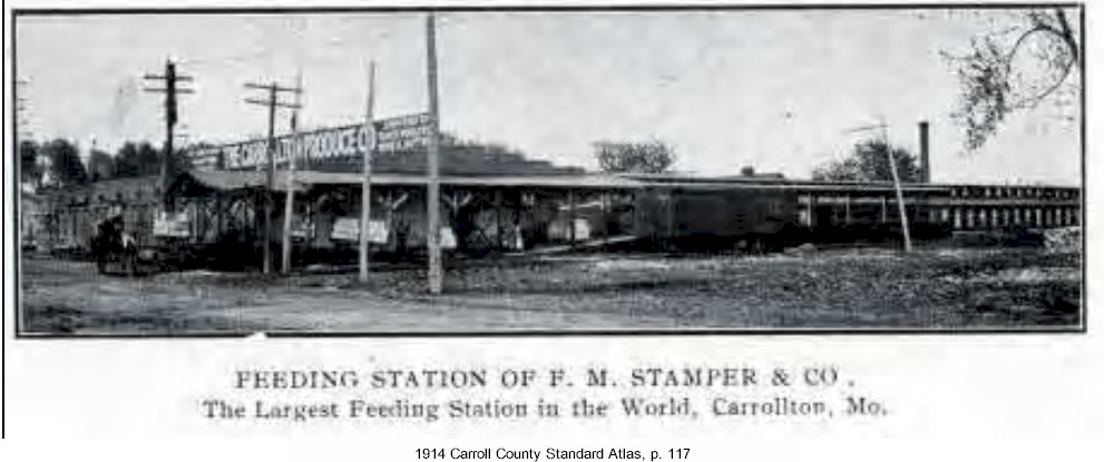 |
1914 Carroll County Standard Atlas, p. 117 | The largest feeding station in the world | . |
| Star Theatre | 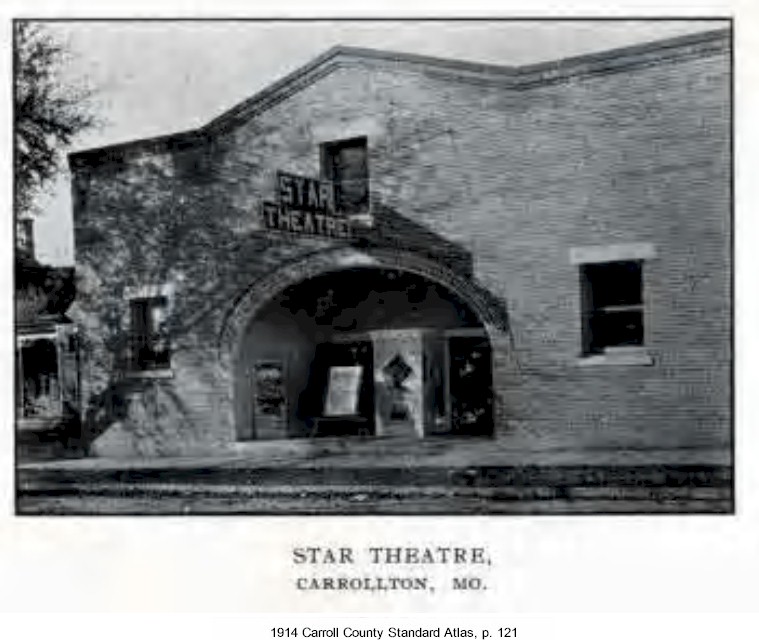 |
1914 Carroll County Standard Atlas, p. 121 | ||
| Trotter Brothers Liver, Feed & Stable | 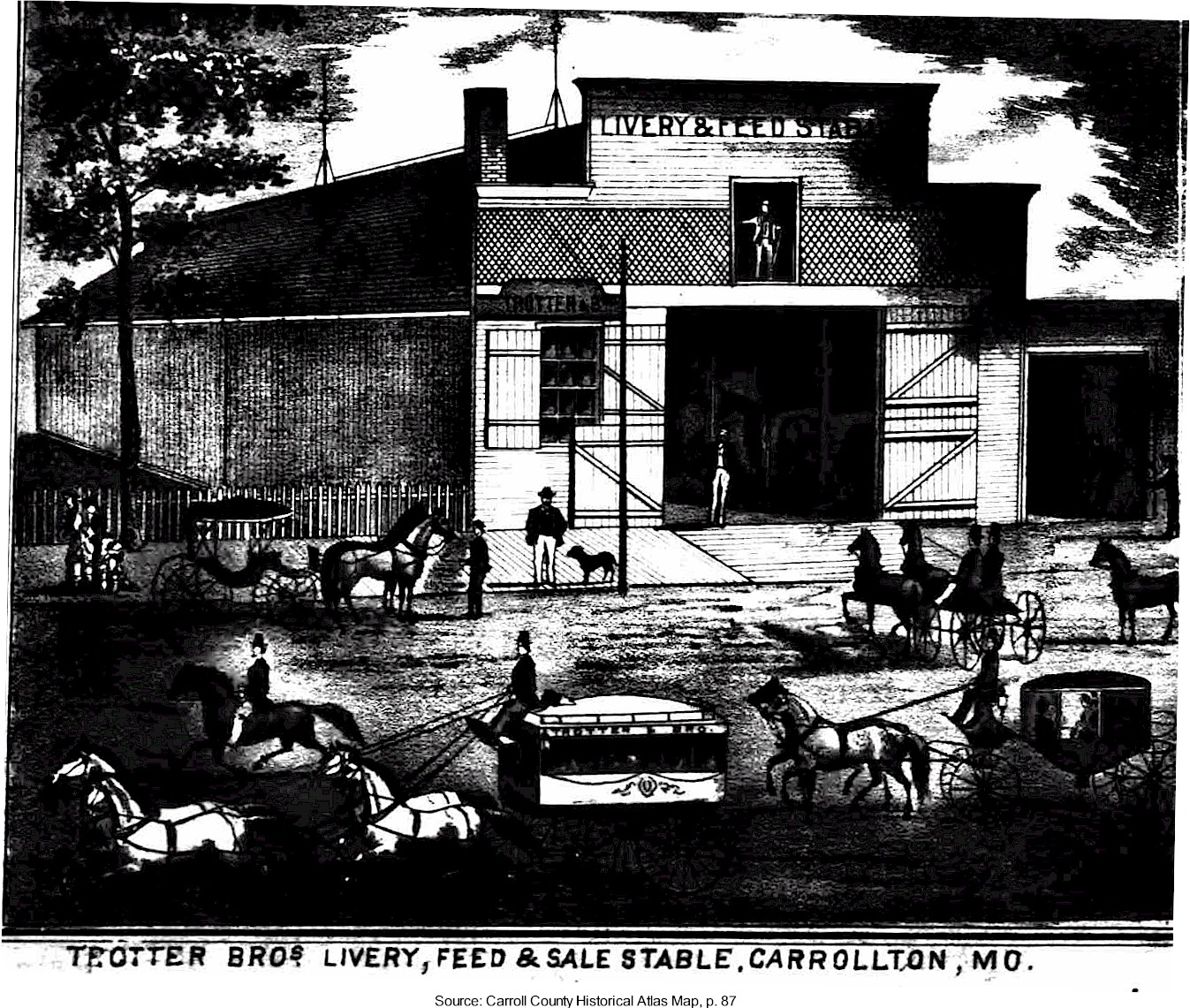 |
1876 Historical Atlas Map | . | . |
| Western Light Company | 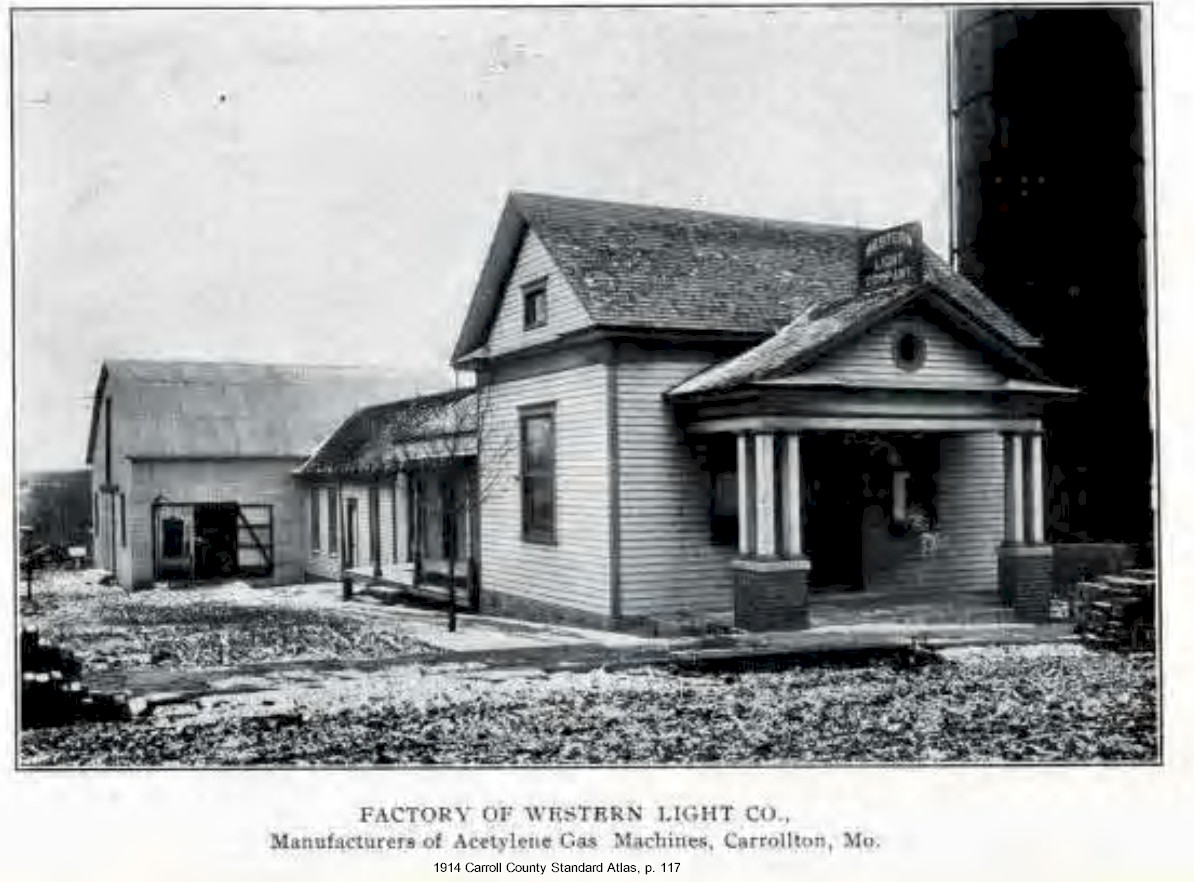 |
1914 Carroll County Standard Atlas, p. 117 | Manufacturers of acetylene gas machines | . |
| Wilcoxson Bank |  |
1914 Carroll County Standard Atlas, p. 115 | National Register of Historic Places | |
| Wilcoxson Opera House | 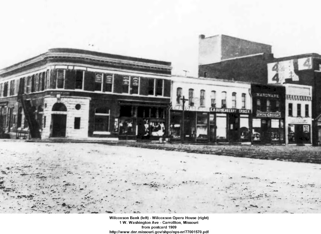 |
1909 | National Register of Historic Places | |
| Wild Moss Flour Mills |  |
1876 Historical Atlas Map | property of J. F. Lawton two miles west of Carrollton on the St.L, KC, & N Railroad T52R24S12 |
|
| Wright Brothers Implement House | 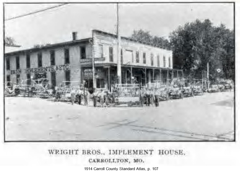 |
1914 Carroll County Standard Atlas, p. 107 | . | . |
DeWitt |
||||
| The DeWitt Hotel | built when Steamboats landed at DeWitt | |||
Mandeville |
||||
| Mandeville Store | 1870 | built by Mitchell and Wolf Block | ||
Norborne |
||||
| Farmer's Bank |  |
1914 Carroll County Standard Atlas, p. 103 | . | |
| Livery Stable | 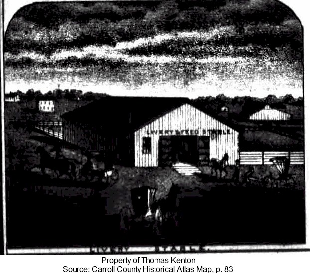 |
1876 Historical Atlas Map | property of Thomas Kenton | |
| Norborne Citizens Bank | August 3, 1895 | |||
| Norborne Hotel | 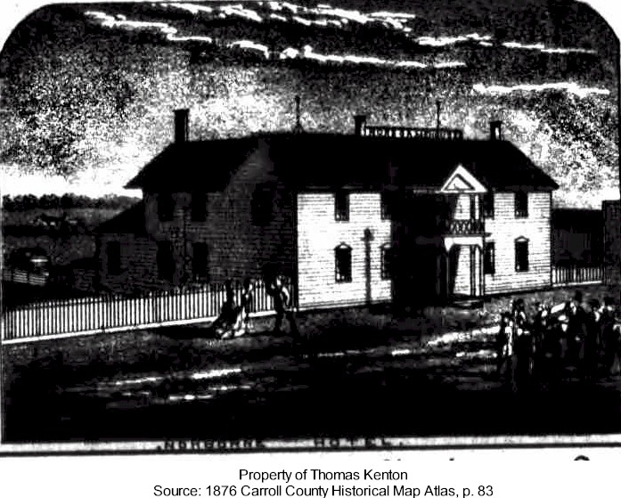 |
1876 Historical Atlas Map | property of Thomas Kenton | |
| Pioneer Lumber Yard | 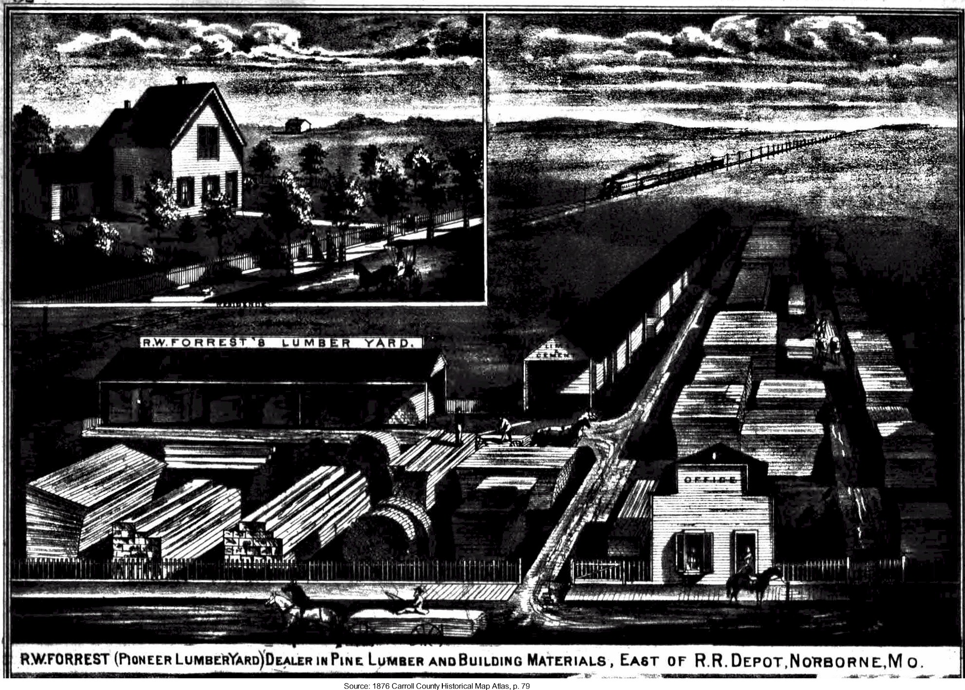 |
1876 Historical Atlas Map | R. W. Forrest, dealer in pine lumber and building materials
east of railroad depot in Norborne |
|
Wakenda |
||||
| Peltier Store & Post Office | 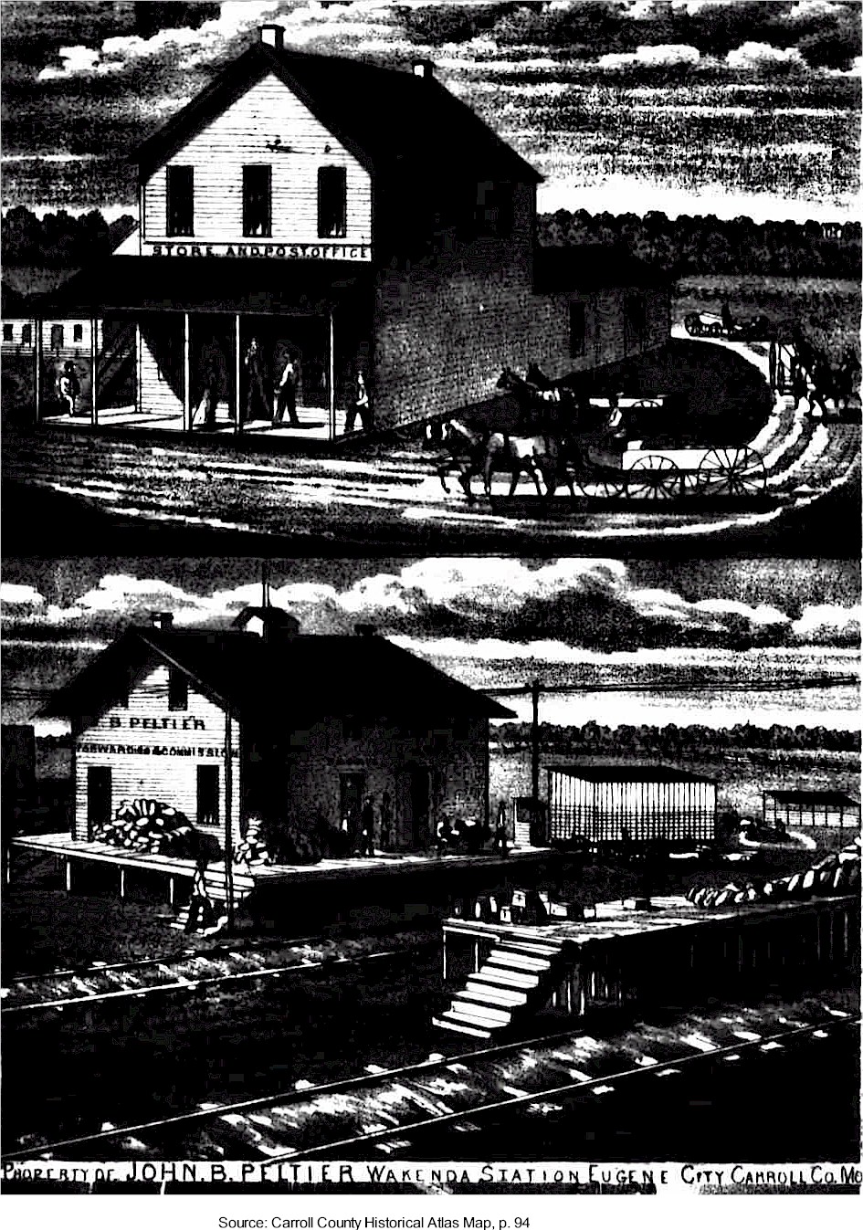 |
1876 Historical Atlas Map | property of John B. Peltier
Wakenda Station, Eugene City |
|
White Rock |
||||
| L. A. Heidel & Co | 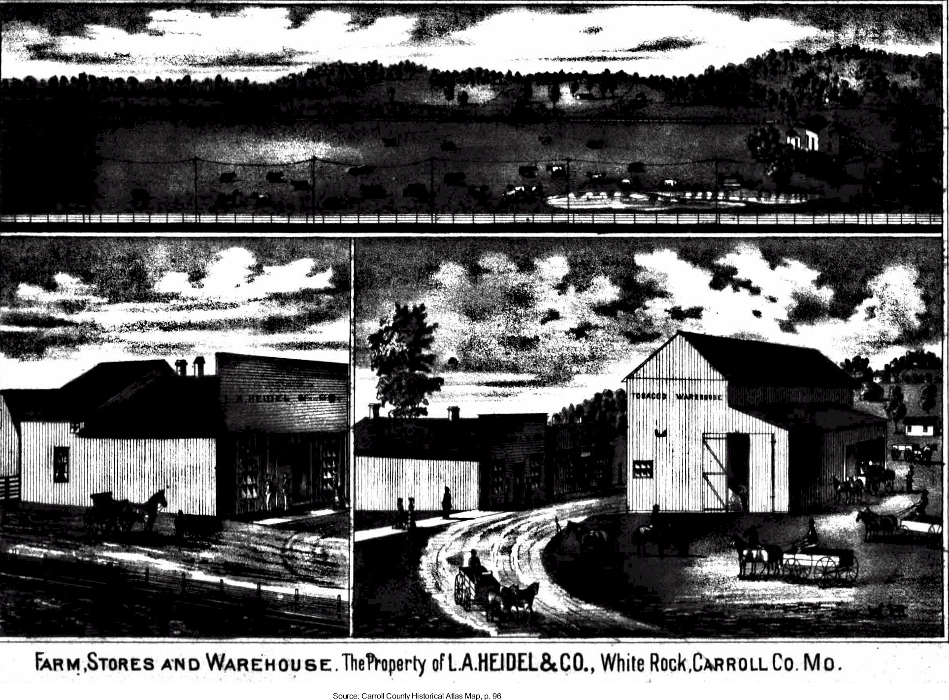 |
1876 Historical Atlas Map, p. 96 | Property of L. A. Heidel & Co.
Farm, Stores, and Warehouse |
|
Trotter Twp |
||||
| Phleger Flour & Lumber Mill | 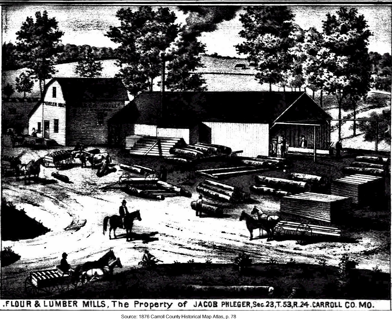 |
1876 Historical Atlas Map | property of Jacob Phleger | |
Miami Twp |
||||
| Carroll County Sand Stone Co & Quarries | 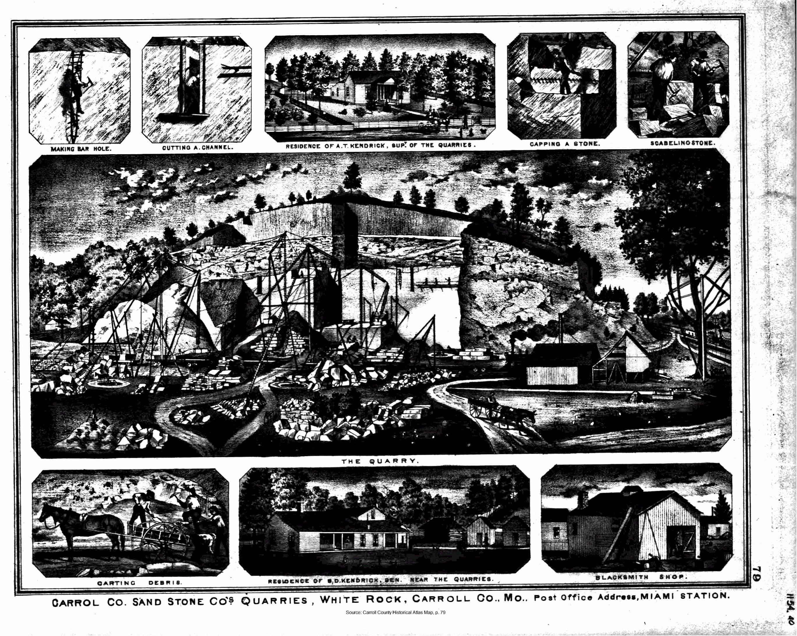 |
1876 Historical Atlas Map | White Rock Miami Station Post Office |
|
Unknown Location |
||||
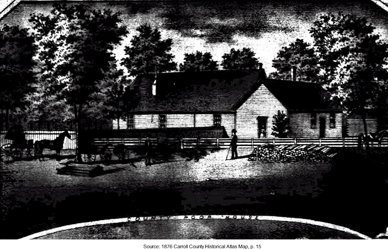
| County Poor House |
|
1876 Historical Atlas Map | ||